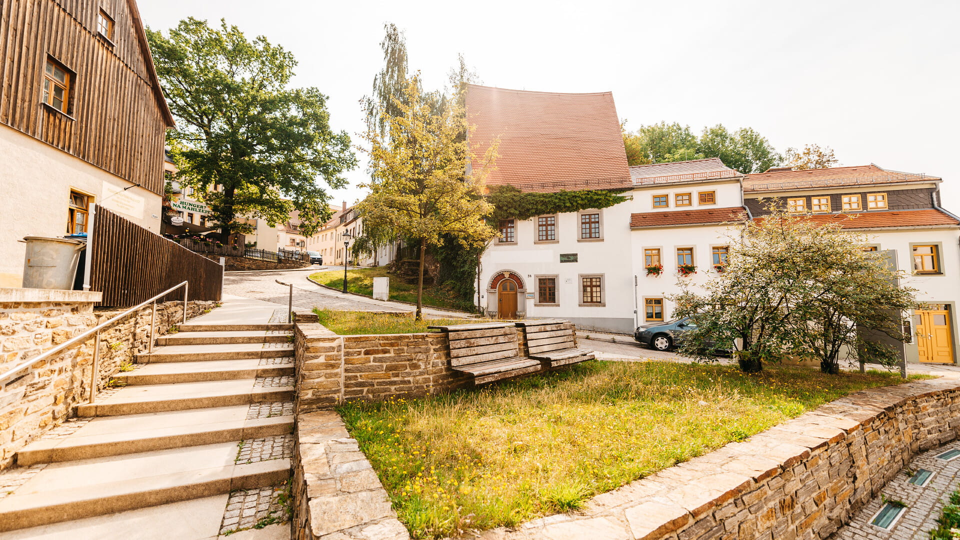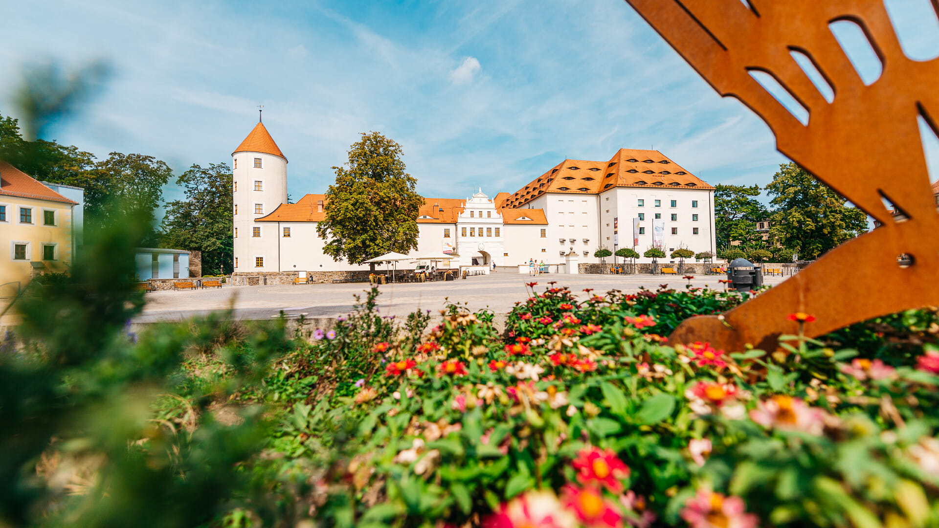
Actively experience world heritage
Being active on holiday, exercising outdoors and relaxing in nature combined with visiting cultural events, sightseeing and enjoying specialities and regional products? Silver City Freiberg offers all this!
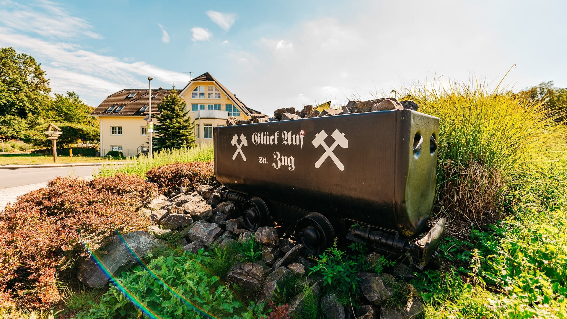
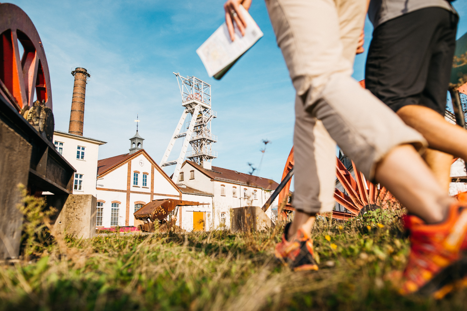
Since 2019, Silver City Freiberg, as part of the mining region Erzgebirge/Krušnohoří", has been a UNESCO World Heritage Site. The silver city has played a significant role in the mining development of the Ore Mountains. The first silver ore was discovered here over 850 years ago and the silver rush shaped an entire landscape.
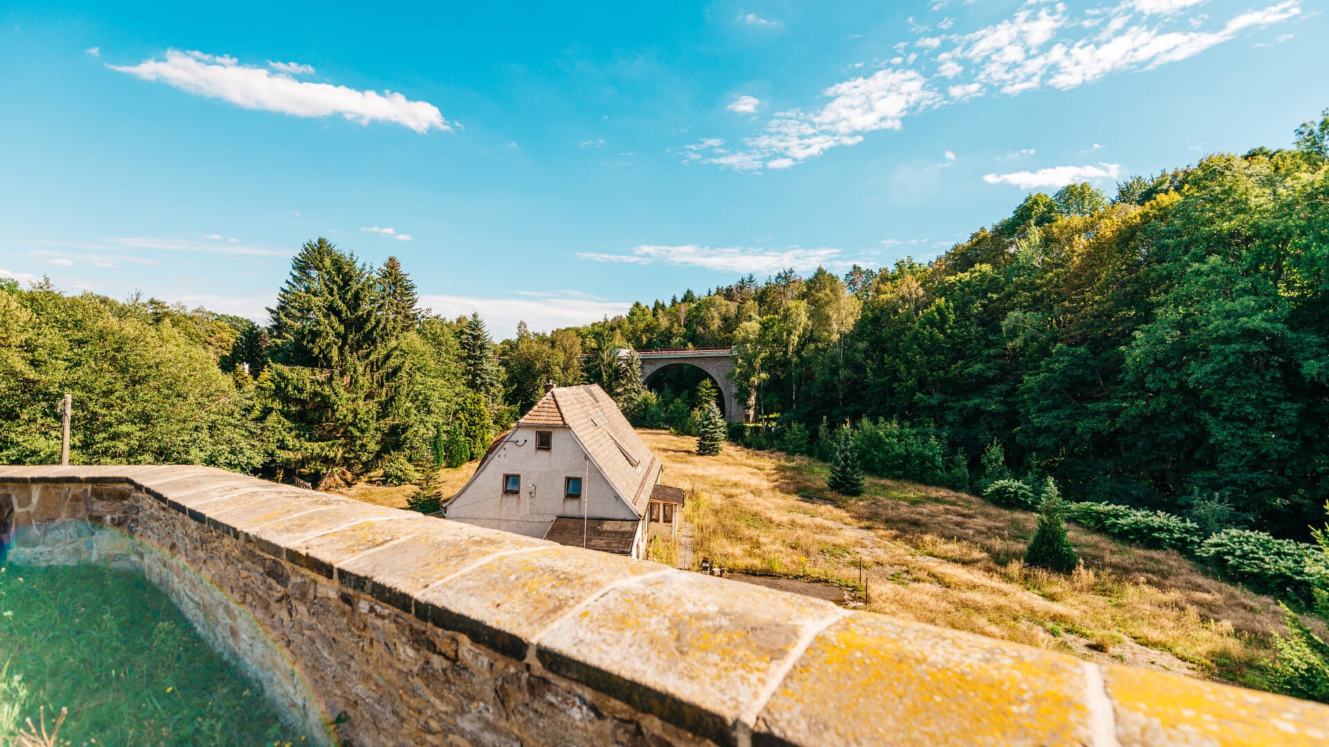
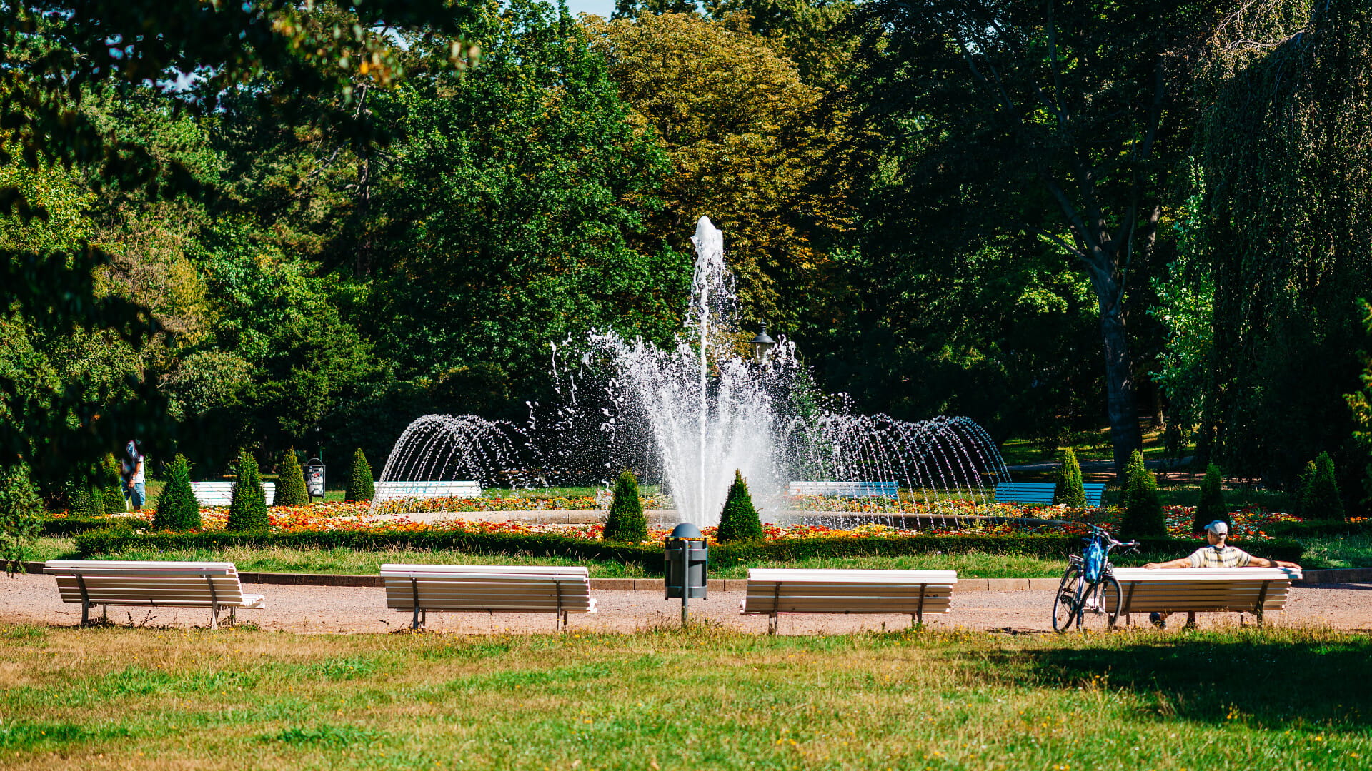
Actively explore our world heritage. Because historical silver mining has left its traces in Freiberg and the region. You can discover these contemporary witnesses, which are still preserved today, on the various hiking and cycling tours through our mining region. Whether "shaft hopping" with the whole family or cycling along the picturesque landscape of the Freiberg Mulde
Experience history up close and personal while enjoying the impressive nature of the Freiberg mining landscape.
German cyclists club of the Silver City Freiberg
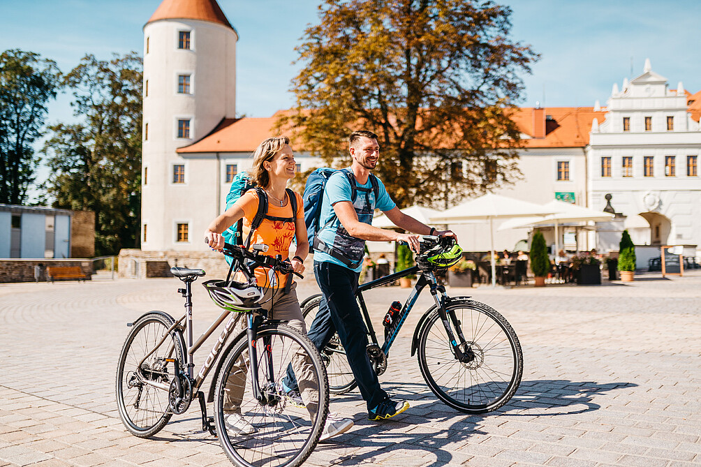
Here you will find dates, news, a cycling exchange and tour recommendations from the Freiberg Cycling Club.
Hiking
Biking
Pilgrimage
Georeference point Freiberg
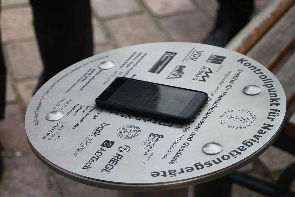
A geo-reference point can be used to check the positional accuracy of a navigation device. In private use, GPS devices are used as navigation aids when driving or hiking, for positioning photos and videos, for locating mobile phones or even for geocaching.
There are currently 11 geo-reference points in Saxony. A public reference point can now also be found in Freiberg. The geo-reference point was inaugurated during the 18th Geokinematic Day on 11 May 2017. The coordinates for the geo-reference point named after Friedrich Robert Helmert, founder of modern geodesy, are degrees decimal [latitude longitude]: 50.919790833°,13.340096167°. These were precisely measured by the Institute for Mine Surveying and Geodesy at the TU Bergakademie Freiberg. The reference plate with the geographical information is located on Schlossplatz, directly in front of the Krügerhaus.
Through this free service, Freiberg residents, tourists, hikers, cyclists and geocachers now have the opportunity to check the accuracy of their navigation devices. To do so, visitors can place their device on a marker and then compare the accuracy of the measurement with the information on the board of the reference point. The silver city of Freiberg and its surroundings can be explored in many ways. When the weather is nice, a cycling tour or hiking route invites visitors to get a breath of fresh air.